67 F. high in the Twin Cities Monday.
53 F. average high on October 27.
58 F. high on October 27, 2013.
2.6" snow fell on the Twin Cities on October 27, 1919.
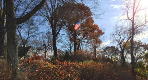
Risk of October
Be afraid. When the weather is supernaturally nice for an extended period of time my nervous twitch returns. When will the other shoe (or boot) drop? Patterns usually pivot between pleasure & pain, unless storms stall for extended periods of time (Halloween Blizzard of 1991), or an upper level block interrupts the normal ebb and flow of cold and warm (last winter's persistent vortex of polar pollution).
One step out the door and you'll realize - quickly - that it's still late October. No more 60s until possibly next week as the cool correction we all knew was inevitable arrives. Minnesota only sees a glancing blow of cold air; the real thrust of wind chill and lake effect snow bands will set up from the Great Lakes into New England in time for Halloween.
And nothing too terrifying from a meteorological perspective for Friday: mostly clear skies, light winds and Trick or Treat temperatures near 40F. A hard freeze Saturday morning gives way to strong weekend winds, the result of big temperature swings across the Midwest. A taste of Indian Summer returns next week with more 50s, maybe a day or two above 60F.
Old Man Winter continues to pull his punch into at least mid-November.
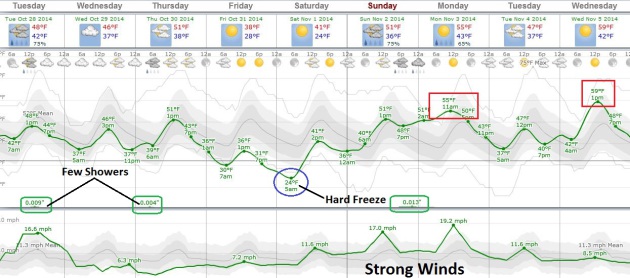
An Inevitable Correction.
I wouldn't exactly call it arctic, but it will be more cold front than
cool front in the coming days; temperatures stuck in the 40s much of
today, Thursday and Halloween before recovering next weekend. I still
think we may see another 60-degree high or two next week; a sharp
rebound in temperature will turn on 15-25 mph sustained winds by Sunday
and Monday.
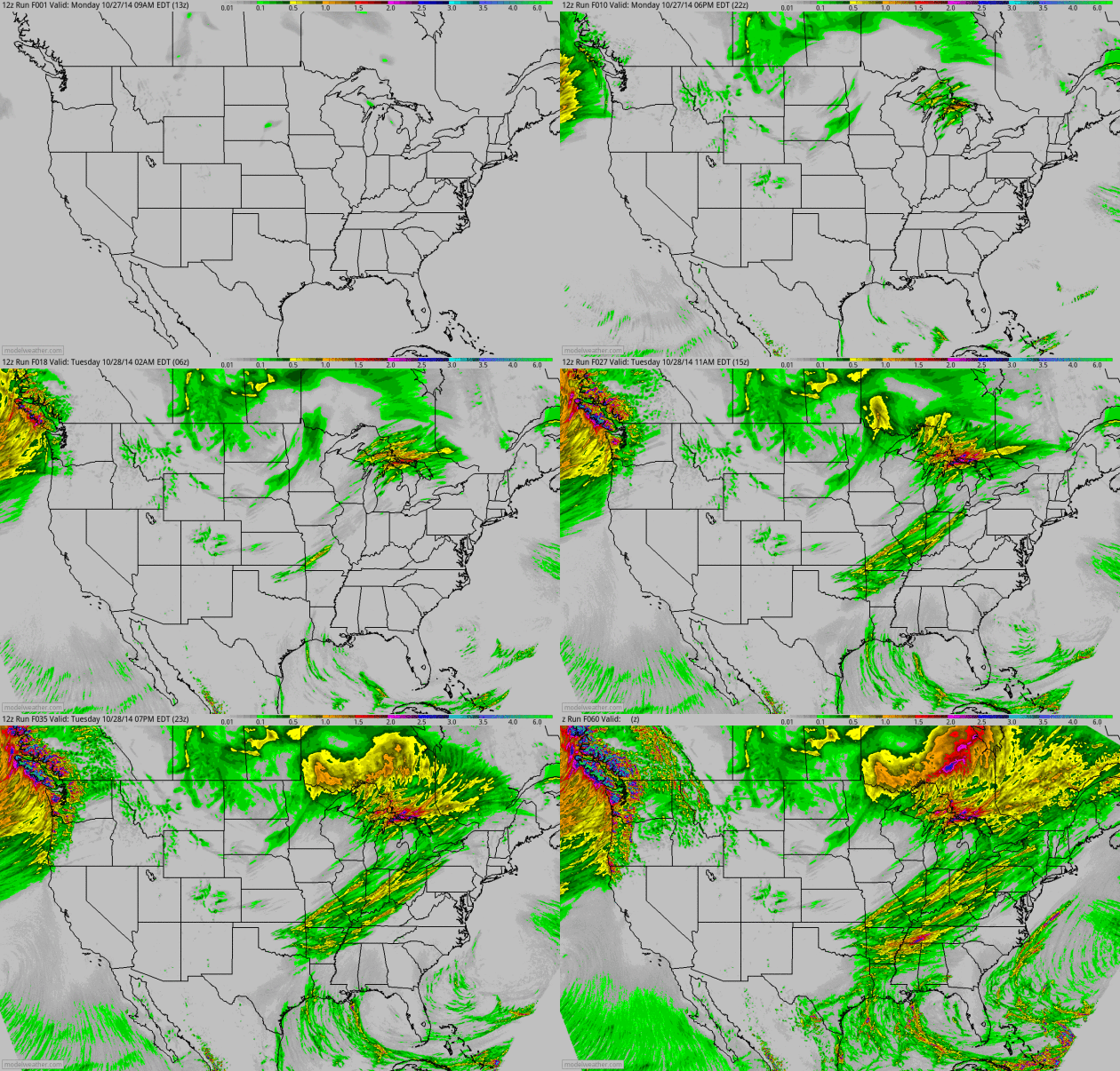
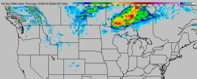
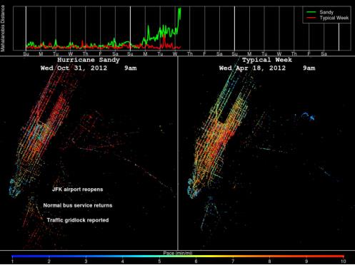
Image credit above: "A visualization comparing GPS data from New York City taxis in the days surrounding Hurricane Sandy with the same data under normal traffic conditions."
A
visualization comparing GPS data from New York City taxis in the days
surrounding Hurricane Sandy with the same data under normal traffic
conditions
Read more at: http://phys.org/news/2014-10-taxi-gps-hurricane-sandy-effect.html#jCp
Read more at: http://phys.org/news/2014-10-taxi-gps-hurricane-sandy-effect.html#jCp
The
largest Atlantic hurricane on record, Hurricane Sandy offered a chance
for researchers at the University of Illinois at Urbana-Champaign to try
out a new computational method they developed that promises to help
municipalities quantify the resilience of their transportation systems
to extreme events using only GPS data from taxis.
Read more at: http://phys.org/news/2014-10-taxi-gps-hurricane-sandy-effect.html#jCp
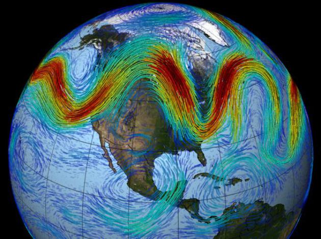
Colder Winters in Asia, Europe Linked to Sea Ice Decline. Climate Central
examines how reduced sea ice from rapid arctic warming might impact the
frequency of cold weather blocking patterns; here's a clip: "..The
model simulations suggest that the reduced sea ice leads to greater
absorption of incoming solar heat by open ocean waters, which leads to
pressure changes in the atmosphere. Specifically, it seems to intensify a
feature called the Siberian High over Europe and Asia, and leads to
more of what are called blocking patterns, where the atmosphere
effectively gets stuck in a particular pattern for days or even weeks.
In the case of the study, the feature leads to more breakouts of Arctic
air over the combined Europe-Asia landmass..."Read more at: http://phys.org/news/2014-10-taxi-gps-hurricane-sandy-effect.html#jCp

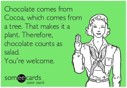
To Improve a Memory, Consider Chocolate.
This edict will not be hard to implement for most of us. Life is better
with (more) chocolate, but this gives you another excuse; here's an
excerpt from The New York Times: "Science
edged closer on Sunday to showing that an antioxidant in chocolate
appears to improve some memory skills that people lose with age. In a
small study in the journal Nature Neuroscience, healthy people, ages 50
to 69, who drank a mixture high in antioxidants called cocoa flavanols
for three months performed better on a memory test than people who drank
a low-flavanol mixture..."

TODAY: Windy and colder with clouds, showers north. Winds: NW 20. High: 49
TUESDAY NIGHT: Partly cloudy and chilly. Low: 34
WEDNESDAY: Plenty of sun, less wind. High: 48
THURSDAY: Mostly cloudy, risk of a sprinkle. Wake-up: 38. High: 53
FRIDAY: Clear. Chilling. Giant spiders. Wake-up: 31. High: 44
SATURDAY: Hard freeze early. Partly sunny, stiff south wind. Wake-up: 25. High: 48
SUNDAY: Very windy, a bit milder. Wake-up: 37. High: 56
MONDAY: Showers, then clearing. Wake-up: 50. High: 58
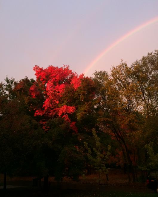
* photo credit: Heidi Rusch, Minnetonka.
Climate Stories...
No comments:
Post a Comment