49 F. average high on November 2.
50 F. high on November 2, 2013.
November 2 in Minnesota Weather History. Source: MPX National Weather Service:
1991: The Great Halloween blizzard ends with a total of 28.4 inches of snow at Twin Cities.
1956: Parts of central Minnesota had record high low temperatures in the upper forties to the lower fifties. Minneapolis, Farmington, Chaska, and Gaylord all had high temperatures of 55 degrees Fahrenheit.
1915: Severe thunderstorm in Chatfield, MN. One person killed by lightning.
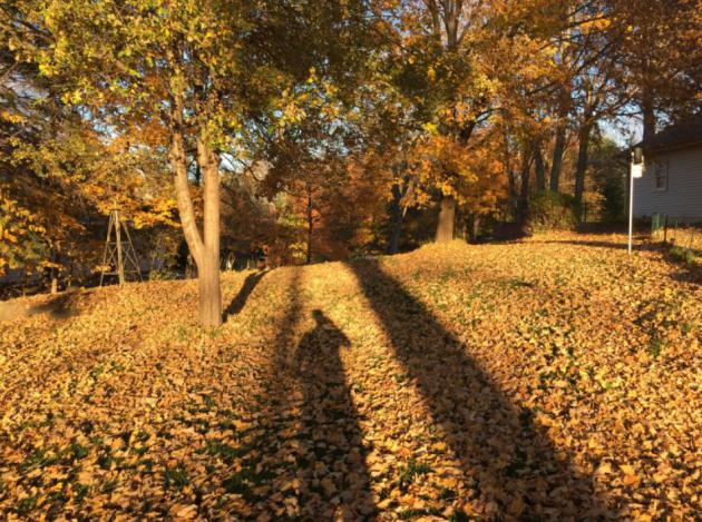
Golden Hour
Welcome Season of Long Shadows. Even at noon the sun is crouched low in the sky, skimming the tops of the trees, illuminating the southern sky like a spotlight, throwing down a tangle of shadows.
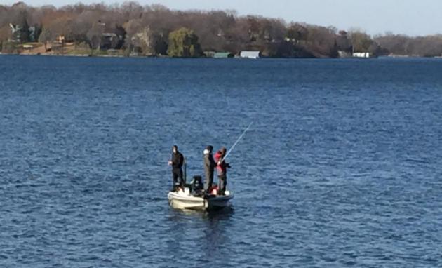
Walking the dog yesterday my wife and I couldn't help but gawk. The sky had a crisp, golden-glow you don't find any other time of the year. We saw a few fishing boats out on the lake; a couple of bank thermometers flashing 60F; not bad considering the sun angle is identical to February 8.
One more mild day today with a growing chance of rain by afternoon and evening. The drive home may be slower than usual.
Election Day looks quiet with cool, dry exhaust behind a frontal passage, but the sun should be out. No weather excuses not to get out to the polls.
Let's be honest here: it's been too nice for too long. In our gut we all know a "correction" is coming. That would be a fair assumption.
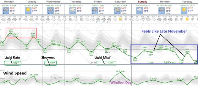
Models show a family of clippers pushing south, each stormy twist followed by a reinforcing jab of steadily colder air. A rain-snow mix is possible by Friday night or Saturday; by early next week highs hold in the 20s and 30s with a wintry snap to the air. Upper 50s today?
Yep, these are the good old days.
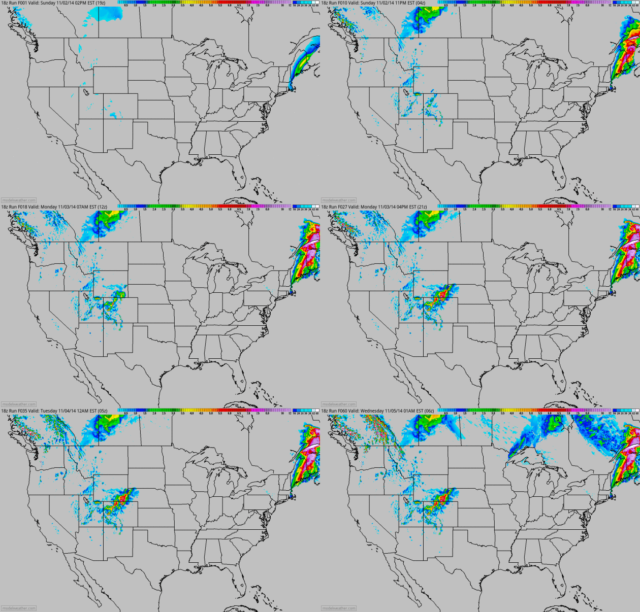
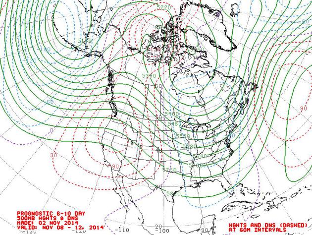
Another Weak and Wobby Polar Vortex? With rapid melting of Arctic ice all bets are off, but I still believe the odds of another 90-day polar vortex excursion again this winter are small. Not zero, but weather rarely repeats itself. That said, there will be a turn to colder weather over the next 1-2 weeks as a -AO and -NAO pattern sharpens up the western ridge, allowing colder Canadian air to push farther south. November 8-12 500 mb winds: NOAA NCEP.
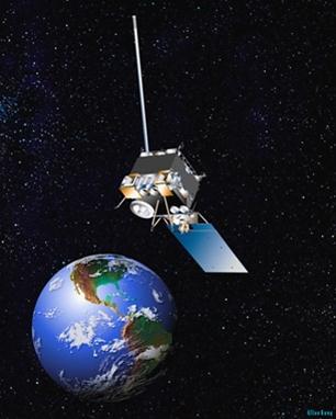
Our Failing Weather Infrastructure.
Something to truly worry about, or just part of the challenge of
running a big weather service with a lot of moving parts? Here's the
intro to an Op-Ed at The New York Times: "Last week the National Weather Service’s
satellite network crashed, leaving forecasters without crucial data as a
large nor’easter swirled across the East Coast, dumping record levels
of rain and leaving thousands of residents without power.This network
shutdown was the latest in a string of failures that has left the agency
unable to meet the needs of the nation. Earlier this year, the
service’s website collapsed under the weight of data requests from a
single Android app..."

TODAY: Clouds increase, PM showers. Winds: SW 8. High: 57
MONDAY NIGHT: Clouds and periods of rain. Low: 38
ELECTION DAY: Partly sunny, breezy and dry. High: 51
WEDNESDAY: Next clipper, clouds and showers. Wake-up: 36. High: 46
THURSDAY: Mix of clouds and sun, cooler. Wake-up: 34. High: 44
FRIDAY: Rain-snow mix possible late. Wake-up: 33. High: 41
SATURDAY: Mostly cloudy, cold wind. Wake-up: 32. High: 38
SUNDAY: Feels like November. Early sun, clouds increase. Wake-up: 26. High: 39
Climate Stories...
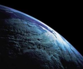
U.N. Panel Warns of Dire Effects From Lack of Action Over Global Warming. Here's the intro to a Justin Gillis story at The New York Times: " The
gathering risks of climate change are so profound they could stall or
even reverse generations of progress against poverty and hunger if
greenhouse emissions continue at a runaway pace, according to a major
new United Nations report. Despite rising efforts in many countries to
tackle the problem, the overall global situation is growing more acute
as developing countries join the West in burning huge amounts of fossil
fuels, the Intergovernmental Panel on Climate Change said here on Sunday...."

5 Key Takeaways From The Latest Climate Change Report. Following up on the IPCC report here's a clip from a good summary at National Geographic News: "...It's
"extremely likely," the report says, that human influence, primarily
the burning of fossil fuels, has been the dominant cause of global
warming over the past several decades. That's stronger language than the
previous version
of this report, released in 2007, which concluded that it was merely
"very likely." In the oddly precise IPCC lingo, that one-word change
stems from a 5 percentage point increase in scientific certainty, from
90 to 95 percent..."
* IPCC: Fossil Fuels Should Be Phased Out by 2100. The BBC has more details.
** IPCC Fifth Asssessment Synthesis Report. The 116-page PDF of IPCC WGI AR5 is here.
The World's Climate Change Watchdog May Be Underestimating Global Warming.
Those alarmist climate scientists may be lowballing estimated impacts,
especially when it comes to sea level ride. What if they're too
conservative? Here's a snippet from The Washington Post: "...There's
just one problem. According to a number of scientific critics, the
scientific consensus represented by the IPCC is a very conservative
consensus. IPCC's reports, they say, often underestimate the severity of
global warming, in a way that may actually confuse policymakers (or
worse). The IPCC, one scientific group charged last year, has a tendency to "err on the side of least drama." And now, in a new study just out in the Bulletin of the American Meteorological Society, another group of researchers echoes that point..."
No comments:
Post a Comment