Is any of this getting old? Didn't think so. What a Sunday - what a weekend. What a spring! A REAL SPRING, arguably the nicest spring Minnesotans have experienced in well over 150 years of record-keeping. Now that claim is a bit subjective, but I'm really trying to go by the numbers. Earliest end to the accumulating snow season on record (last 1/10th of an inch was Feb. 23). No accumulating snow in March. Ice off area lakes 2-3 weeks ahead of schedule, frost out of the ground 2 weeks early, an unusual number of sunny, pleasant days. The weather has been an afterthought - San Diego (with lakes). Wait, a 6 MONTH boating season - in Minnesota? If word gets out there may be a steady stream of cars with out-of-state license plates streaming into Minnesota. This is not at all your grandfather's Minnesota, at least not weatherwise. El Nino? Climate change? I don't pretend to know - the most likely explanation is a lingering El Nino pattern guiding the biggest, sloppiest storms well south/east of Minnesota, perhaps with a dash of climate change thrown in for good measure. But proving cause and effect, at least with short-term weather, is fraught with peril.
 Sunday Almanac. Highs around the state ranged fro a chilling 45 in Grand Marais to 67 in the Twin Cities, 69 up at St. Cloud, and a balmy 70 at Redwood Falls.
While we enjoyed a phenomenal Sunday, residents of New Hampshire were digging out from several inches of snow, the high in Boston was in the upper 40s with a raw wind, frost advisories for the western suburbs of Washington D.C., a soaking rain for Ft. Myers, Naples and much of south Florida. The mercury held in the 50s in Dallas with wind-whipped sprinkles. We had some of the finest weather in the nation over the weekend, right up there with San Diego and Honolulu. How often does THAT happen? Enough bragging - we've been blessed, and there's every reason to believe that weather blessings will spill over into much of this week as the weather enters another holding pattern: a big, bloated bubble of high pressure stalling out over the Great Lakes will cause storms to detour well south/west of Minnesota through Thursday. Sunshine will be the rule, the mildest weather coming today and Tuesday, a light east/northeast breeze cooling us off a bit by midweek.
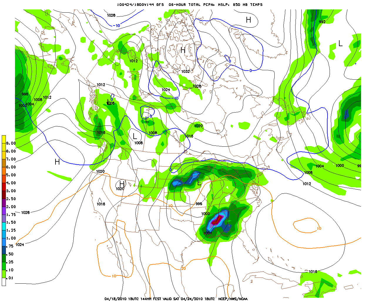 Weekend Rain? Don't hold your breath, but once again the models are printing out a significant storm to our south, potentially capable of pumping Gulf moisture north into Minnesota from Friday into a portion of Sunday - right now it would appear that the greatest potential for a badly-needed soaking will come over southern and southeastern Minnesota. I want to see a few more computer runs, look for consistency, before I get too excited (about getting out of weekend chores).
A late-week storm is still possible, but the models are still contradictory. The best chance of rain: Friday and Saturday, especially over the southern third of Minnesota as an area of low pressure pinwheels off to our south. We may be able to salvage a better Sunday, morning clouds, rain and puddles giving way to a clearing trend as a drying northerly wind kicks in - some sun possible by afternoon and evening.
 No Let-up In Sight. The Icelandic volcano continues to belch out ash and smoke, prevailing westerlies carrying this plume of volcanic crud, sand, glass and ash across the British Isles and much of northern Europe, ground flights, forcing people with respiratory problems indoors, generally freaking out the local population. Here's the thing: geologists have NO IDEA how long the eruption will last, and whether a larger, more volatile volcano nearby ("Katla") will get in on the action and start erupting simultaneously - which has happened in the past. A few experts are speculating that the volcanic eruption could last for MONTHS. An incredible slide show that highlights the power and fury is here - text is German, but the photos translate nicely. Thank you Iceland. First comes the economic meltdown, now this tiny island nation is holding much of Europe hostage. Granted, the locals had no control over the timing/fury of this particular volcano, but there has been a disproportionate amount of bad news coming out of this little island in recent months. A coincidence? Starting to wonder....
 Tracking the Ash Plume From Space. Click here to see an amazing time-lapse of the volcanic ash cloud. The eruption has crippled European aviation since late last week, thousands of people stranded at airports, business, commerce, anything delivered by air has ground to a halt.
* To see why commercial aviation and volcanic ash clouds don't mix click here. You'll never look at an airplane window in wide-eyed innocence again. Good grief.
 Under The Gun. Where will the ash cloud go next? Meteorologists examine winds aloft, the jet stream prevailing westerlies that snake across the globe. Here are predicted winds at 500 mb (roughly 25,000 feet above the ground) for Monday evening, showing a wind flow from Iceland across the U.K. into Denmark, Poland and Finland. To see the (French) weather site for yourself, click here.
 Volcanic Lightning. The Icelandic volcano is creating a vortex of violently-rising hot air, similar in some respects to a severe thunderstorm updraft. The result: lightning and thunder, I wouldn't be surprised to see a few photos of ash-tornadoes being sparked by the rapidly rising air. Simply amazing.
 100% Probability: Space Shuttle Landing. If you're up and alert around 8:30 am check out the southern sky for a streaking orange object, moving much faster than any airplane. It's the Space Shuttle, making a rare, trans-USA descent, scheduled to land at Cape Canaveral, Florida by 8:48 am. ABC News has a good summary of what you MAY be able to see here. More on the shuttle landing from NASA's web site here.
 * Warmest March (globally) since 1880, according to NOAA. The story in the L.A. Times is here.
* Half of the projected heat released by human activities can't be accounted for, using current observational tools. Climate scientists are scratching their heads, trying to figure out where it went. The story from U.S. News and World Report is here. Another story on the "missing heat" is here, from indypost.com
* Speculation on how the Icelandic volcano may impact long-term climate here (from a centrist, moderate, middle-of-the-road commentator). I thought he made some pretty good points, another reminder of the difference between climate (what you expect) vs. weather (what you get).
* Bored? Trying to look busy? Click here to see "this day in weather history" for a few interesting meteorological nuggets.

Paul's Conservation MN Outlook for the Twin Cities and all of Minnesota
Today: Plenty of sun, even milder! Winds: SE 5-10. High: near 70
Tonight: Partly cloudy. Low: 49
Tuesday: Partly sunny, unseasonably mild (more like mid May). High: 73
Wednesday: Sunshine, still amazing, a few degrees cooler. High: 67
Thursday: Mix of clouds and sun, cooler northeast breeze. High: 63
Friday: Cloudy with rain developing. High: 65
Saturday: Periods of rain (mainly southern half of Minnesota). High: 59
Sunday: Any showers taper, some PM sun - getting better/drier as the day goes on. High: 61
No comments:
Post a Comment