70 F. average high on May 17.
66 F. high on May 17, 2014.
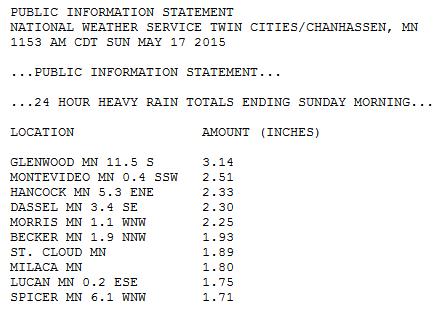
.08" rain fell yesterday at MSP International Airport.
1.74" rain so far in May.
1.85" normal rainfall in May, to date.
May 17, 1915: Old Man Winters last hurrah with 5 inches of snow along Lake Superior.
Currency of Experience
In the end you won't be thinking about the car you drove or the square footage of your home. It'll be all about the people you loved, who you helped, and the places you've seen.
And data suggests that experiences are more likely to result in happiness & satisfaction than consumption. The cheap high from buying things wears off quickly, while the effects of socializing and vacations endure.
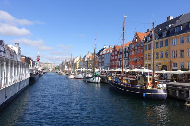
I never thought I'd be coming back to Minnesota to warm up. My wife and I just returned from Scandinavia, where temperatures were in the 40s and 50s. I swear I saw snow flurries cruising the Baltic. "We experience 9 months of expectations followed by 3 months of disappointment" our St. Petersburg, Russia tour guide sighed. The Baltic Sea in May makes a Minnesota spring seem reasonable.
Quite a trick.
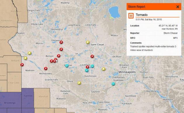
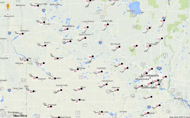
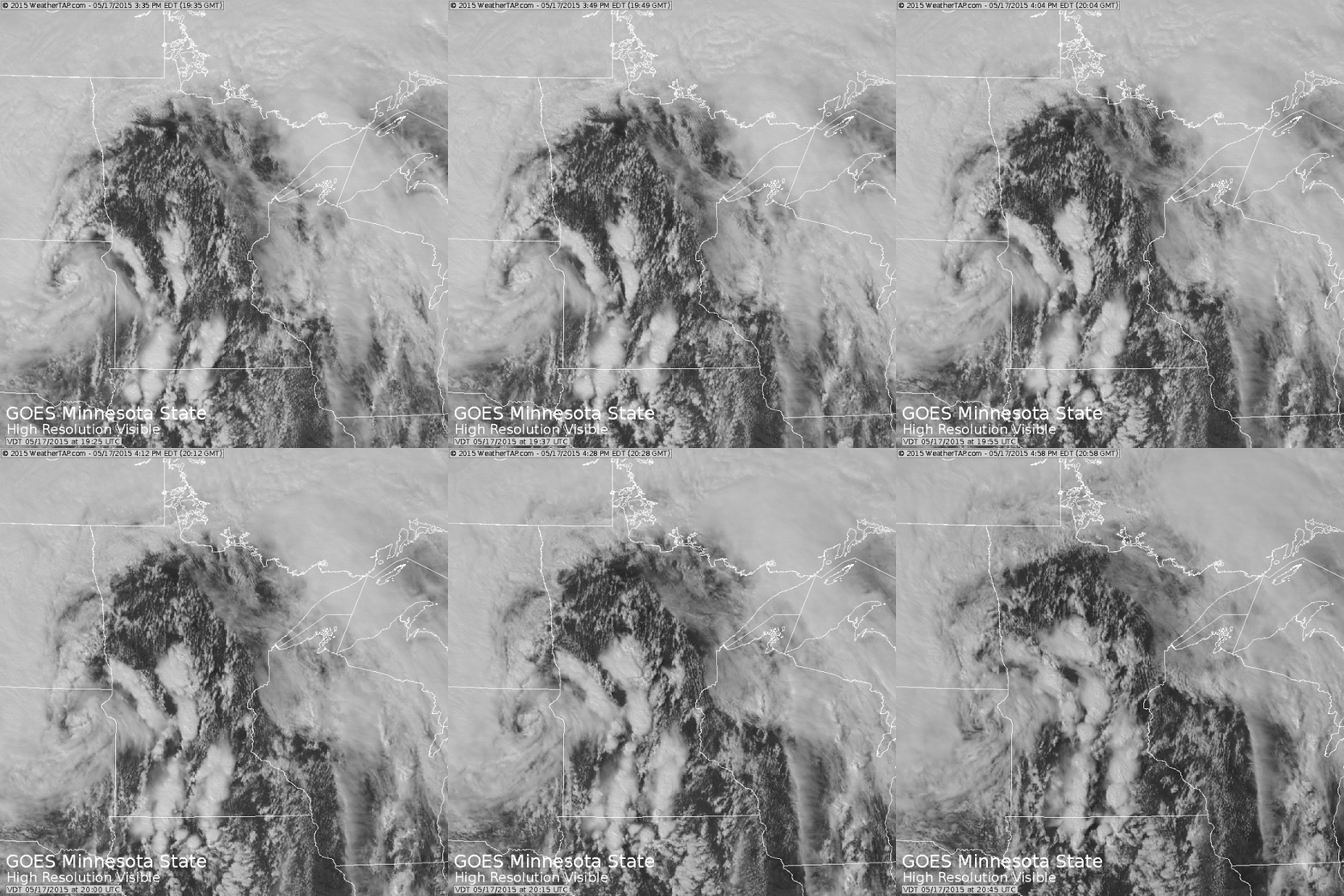
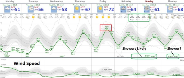
The severe risk pushes to our east today as winds behind the weekend storm become westerly, dropping dew points from sticky 60s into the comfortable 30s. A dry week is shaping up; brisk 40s today give way to low 70s by late week. Showers and T-showers return late Saturday into Sunday with a slight cool bias into late May.
Don't read too much into that. El Nino could spin up a very steamy summer.
TODAY: Mostly cloudy, gusty & cool. Winds: NW 15-30. High: near 50 (40s most of the day).
MONDAY NIGHT: Clearing and chilly. Low: 39
TUESDAY: Bright sun, light breeze. High: 57
WEDNESDAY: Blue sky, next storm stays south. Wake-up: 43. High: 62
THURSDAY: Plenty of sun, pleasant. Wake-up: 45. High: near 70
FRIDAY: Lukewarm sun, leave office early. Wake-up: 49. High: 72
SATURDAY: Sunny start, showers late? Wake-up: 53. High: 70
SUNDAY: Unsettled, few showers likely. Wake-up: 55. High: 62
Climate Stories...
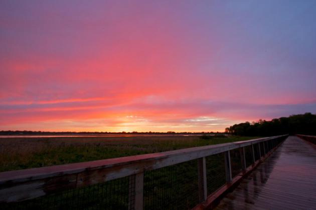
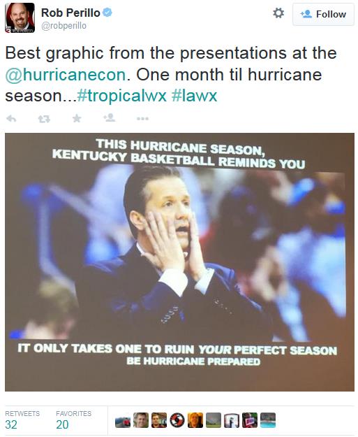
Jim Hightower: The Pope Gets It Right on Climate Change. The Winston-Salem Journal has an Op-Ed that caught my eye; here's the introduction: "Some of corporate America’s biggest climate-change deniers — from Exxon-Mobil to the Koch Brothers — are dreading a potent storm that’s gaining strength and headed right at them. It’s the category-5 “Hurricane Francis,” which threatens to overwhelm their flimsy ideological castles. Rather than extreme weather, this has to do with a human who’s become a force of nature: Pope Francis..." (Photo credit: Steve Burns).
No comments:
Post a Comment