* I-94 still closed west of Alexandria into North Dakota.
* Portions of I-80 closed near Des Moines (severe icing).
* Layer of warm air aloft creating a little sleet/freezing drizzle - even though we're only predicting an inch or so of snow, it will be mixed with ice - creating hazardous conditions on area highways.
* 2-3" possible St. Cloud, as much as 4-6" additional inches from near Alexandria to Brainerd overnight.
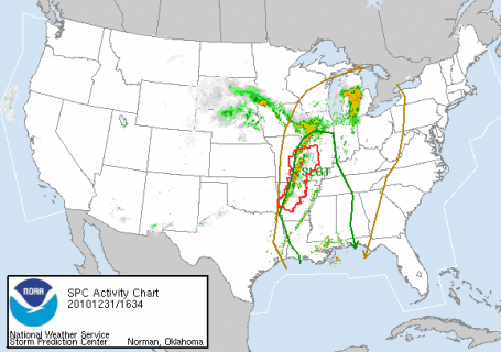
* Thunder over southeastern MN? Today's storm is intense enough for potential convection near Rochester and Winona - a few claps of thunder can't be ruled out by evening.
* Blizzard warnings still posted for far western Minnesota for white-out conditions by late afternoon/evening.
 Patchy Snow/Ice. Doppler radar at 5:45 pm shows patchy light snow, mixed with freezing drizzle (and freezing mist). Most of the accumulation is taking place north/west of MSP (Alexandria has picked up 2" so far, with 9" at Donnelly, west of Alexandria). Periods of light snow and freezing drizzle will continue into tonight, still leaning toward a coating to 1" of icy snow in the metro, 2-3" St. Cloud, more north/west toward Alexandria and Brainerd.
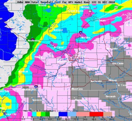

No comments:
Post a Comment