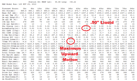
Latest NAM/WRF Guidance. The latest model run, hot off the wire, is printing out more precipitation than last night's guidance, about .50" If that were to all fall as snow we'd easily pick up 5-6" in the Twin Cities. I still suspect a little sleet (ice pellets) may mix in with the burst of precipitation Wednesday afternoon, keeping final snowfall amounts down (a little). But I'm feeling VERY comfortable (as comfortable as I can ever be) predicting 3-6" for the metro, with the best chance of 6" northern suburbs. The NAM shows the strongest vertical velocity values (rapidly rising air) around the dinner hour tomorrow.
The drive home tomorrow is going to be a mess, no question. Temperatures are forecast to peak around 30-31 tomorrow afternoon - freeways/interstates may be wet for a time, but I expect MOST roads to become snow covered after dark tomorrow, after 5 or 6 pm. The later in the day you travel, the worse conditions will be on our highways.
 Latest Watches
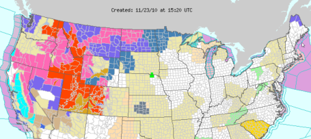
. A winter storm watch is posted for the Red River Valley of northwestern MN (as well as far northern counties, near the Canadian border). Based on the latest guidance I expect the NWS to issue a watch for the Twin Cities metro area later today. The latest watches/warnings/advisories are
here.
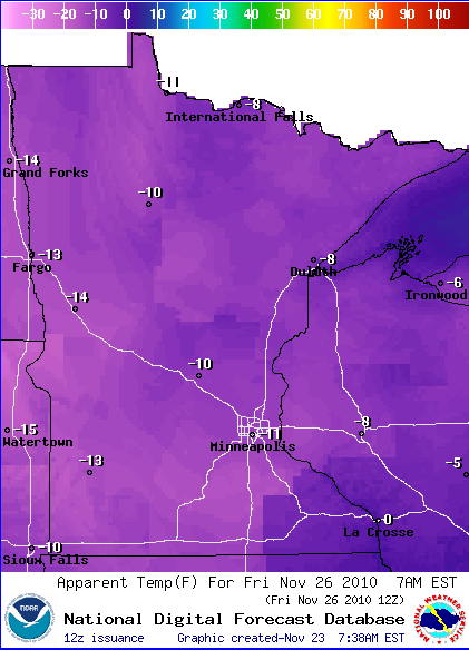
"Black Friday" Shoppers Beware. Thinking about camping out to be the first one in the store at Best Buy? Thousands of Minnesotans may be pondering spending Thursday night "in line", hoping to get a deal. You may get that new digital toy, but there's a good chance you may get something you hadn't bargained for: frostbite. Wind chills Thursday night will dip into the -10 to -20 F. range. The map above shows the predicted wind chill Friday morning at 7 am (-11 in the Twin Cities, -10 at St. Cloud). That may be conservative. Be VERY careful out there - most of the snow (and ice) comes Wednesday afternoon/night, but the storm will be followed by a jab of Arctic air Thursday into Friday morning. The bitter cold won't last long - 30s return by the weekend (woo hoo!) but Friday morning may wind up being one of the 5 or 6 coldest mornings of the winter season. And it isn't even (technically) winter yet. Good grief. The latest NWS graphical forecasts are
here.
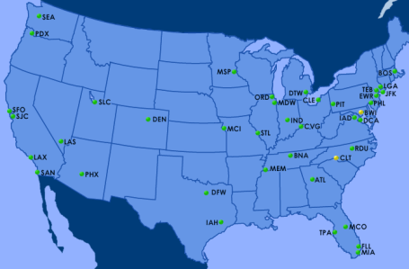
Flight Delays. Click
here to see the latest flight delays from the FAA. Today will be a relatively good travel day nationwide. Tomorrow? Not so much.
No comments:
Post a Comment