35 F. high in the Twin Cities Sunday.
44 F. average high on March 22.
22 F. high on March 22, 2014.
March 23, 1966: Snowstorm brings a foot of snow to southern Minnesota.
March Madness
This is what I get for pulling out my driveway stakes in a surge of premature euphoria a couple Sundays ago as the mercury kissed 70F. Life is a cruel teacher.
And March is like your grandfather. Kind. Caring. Full of hope. Before he slams down a Red Bull, takes his shirt off and proceeds to weave in and out of traffic - in Uptown - in a loud, snarling convertible. Without his glasses. Nothing good can come of that.
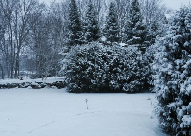
In our heads and hearts we know that March can bring 80s and blizzards and everything in-between. Last night's ill-timed clipper was a reminder to never (ever) take the good times for granted. A slow, slushy start to rush hour gives way to rapid melting today with peeks of sunshine. The sun is as high in the sky as it was in mid-September; you just can't keep snow on the ground for long this time of year.
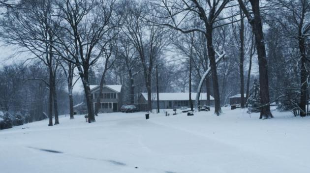
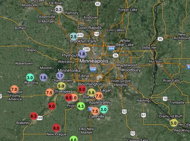
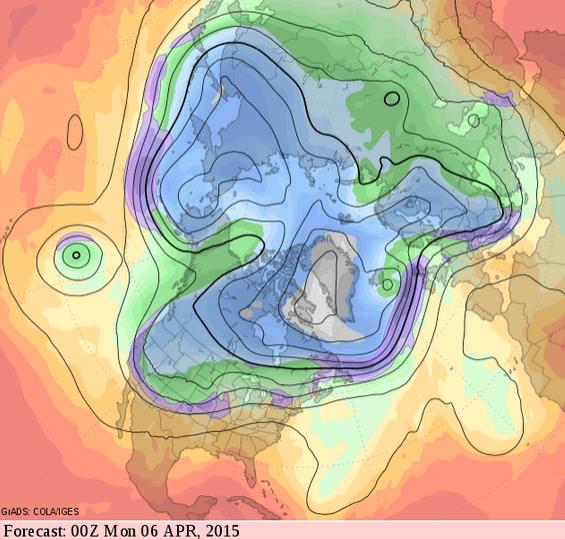
Believe it or not we dodged a bullet in the downtowns, with the heaviest snow bands setting up just south of MSP, as much as 7-8" near Carver, Prior Lake and Shakopee. Travel conditions improve rapidly today - the next mini-storm sparks a cold rain Tuesday, possibly ending as a little slush Tuesday night. Thursday & Friday will feel like mid-February but 50s return by Saturday. Long-range guidance hints at 60s, even a few 70s the first week of April.
Yes, spring is an awkward time here on the prairie.
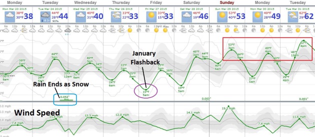

TODAY: Slushy start. Skies clear. Winds: SE 10-15. High: near 40
MONDAY NIGHT: Partly cloudy. Low: 28
TUESDAY: Cold rain may end as slushy snow late. High: 45
WEDNESDAY: Flurries taper, partial clearing. Wake-up: 33. High: 42
THURSDAY: Mostly cloudy, cold wind. Wake-up: 26. High: 36
FRIDAY: Blue sky, light winds. Chilly. Wake-up: 17. High: 35
SATURDAY: Stiff winds, rapid warming trend. Wake-up: 22. High: 51
SUNDAY: Mild start, then cooling off. Wake-up: 42. High: 50 (falling)
No comments:
Post a Comment